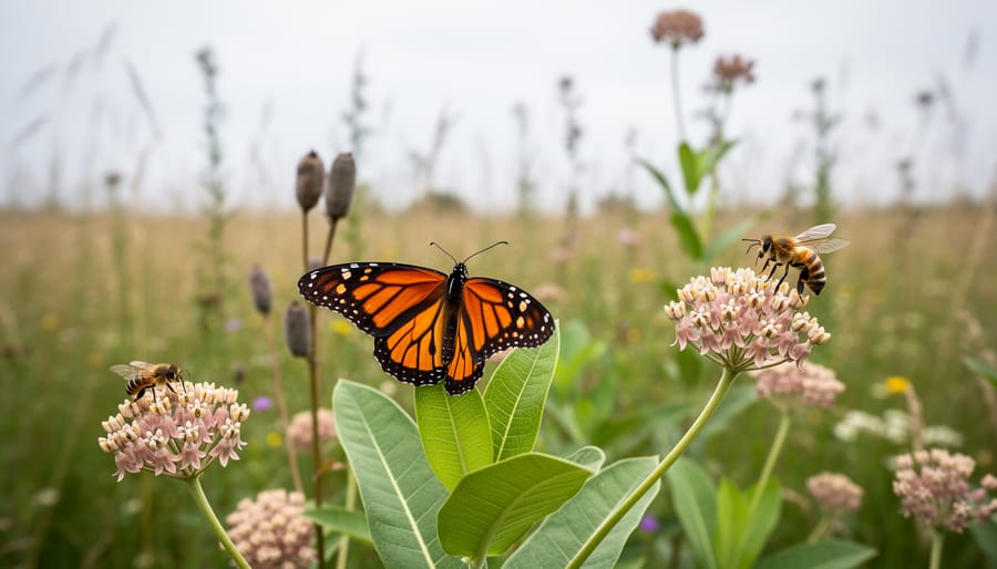
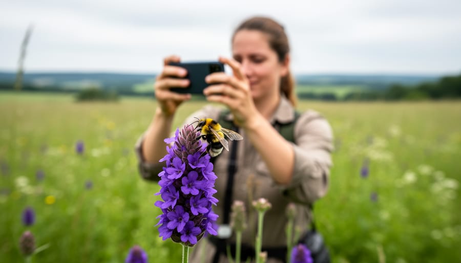
CEE Bees is a citizen science initiative that empowers everyday people to collect critical pollinator data through standardized observation protocols, transforming casual bee watchers into contributors to biodiversity research. By documenting bee sightings, behaviors, and habitat conditions using accessible tools and methods, participants generate datasets that help scientists track population trends, identify at-risk species, and inform conservation strategies where professional monitoring would be cost-prohibitive or logistically impossible.
The program matters because bees function as a keystone species and their decline signals broader ecosystem disruption. Traditional biodiversity monitoring relies on limited researcher capacity, leaving vast geographic and temporal gaps in our understanding of pollinator health. Citizen scientists fill these gaps. When thousands of observers contribute georeferenced sightings across diverse landscapes and seasons, the collective data reveals patterns no single research team could capture.
CEE Bees bridges scientific rigor with public engagement. Volunteers receive training in bee identification basics, learn to distinguish common groups like bumblebees from mining bees, and submit observations through mobile apps that timestamp and map each record. Quality control mechanisms, including expert verification and photographic documentation, ensure the data meets research standards. The result is a growing archive of real-time pollinator information that informs habitat restoration projects, pesticide policy reviews, and climate adaptation planning.
This approach democratizes conservation. You don’t need an advanced degree to make a measurable difference in protecting pollinator populations.
What Makes CEE Bees Different from Traditional Bee Monitoring
Traditional bee monitoring relies on professional entomologists conducting targeted surveys at specific locations, a model that generates high-quality data but covers limited geographic scope. Academic researchers face constraints of funding, personnel, and time that restrict how many sites they can monitor and how frequently they can collect observations. A single research team might survey twenty locations per season, creating data gaps across vast agricultural and urban landscapes where pollinators face the greatest threats.
CEE Bee programs flip this model by distributing data collection across hundreds or thousands of trained volunteers. Participants follow a structured citizen science protocol that standardizes what they observe, how they document it, and when they submit recordings. A volunteer in suburban Ohio photographs bees visiting garden flowers using the same methodology as someone monitoring wildflower meadows in Oregon, creating comparable datasets that researchers can analyze together. Mobile applications guide observers through identification steps, prompt for required habitat details, and automatically timestamp and geolocate each submission.
The scalability advantage is substantial. While a university lab might allocate three staff members to monitor regional bee populations, a citizen science network can deploy three hundred observers covering the same area with far greater density. This multiplication of observation points reveals localized patterns that small-scale studies miss, a pesticide application affecting pollinators in one watershed, microclimates supporting rare species, or urban corridors serving as critical habitat connectors. The data arrives continuously rather than in delayed publication cycles, allowing conservation responses to emerge while conditions remain actionable.
The Science Behind CEE Bee Data Collection
Training and Identification Tools
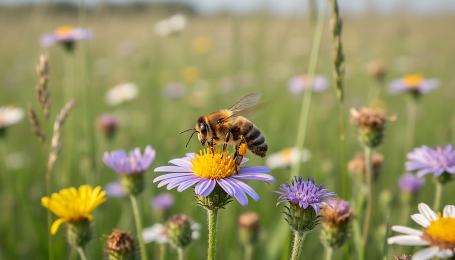
Most CEE Bee programs equip participants with layered identification resources that accommodate different experience levels. Beginners typically start with simplified field guides focusing on the most common pollinator groups, bumblebees, honeybees, mason bees, using key visual markers like body size, color patterns, and nesting behavior rather than overwhelming taxonomic detail.
Digital tools have revolutionized accessibility. Mobile apps now offer photo-based identification where users upload images and receive instant species suggestions, often drawing from machine learning models trained on thousands of verified specimens. While image-based species identification accuracy continues improving, many platforms combine automated suggestions with expert review to catch misidentifications.
Training workshops bridge the gap between digital tools and field confidence. These sessions cover practical skills: how to photograph bees without disturbing them, distinguishing similar-looking species, recognizing habitat features that support pollinators, and understanding seasonal activity patterns. Some programs offer tiered certification, letting motivated participants progress from basic observation to specialized roles like nest box monitoring or botanical surveys.
The combination works because it meets people where they are, you don’t need a biology degree to contribute useful data, just curiosity and access to the right resources.
Data Validation and Quality Control
Quality control transforms casual observations into research-grade data through a multi-layered verification system. CEE Bee platforms employ automated algorithms that flag submissions requiring additional scrutiny, unusual species identifications for a given region, out-of-season sightings, or images with insufficient clarity. These initial filters catch obvious errors before human review begins.
Expert entomologists then examine flagged entries, comparing photographs against specimen collections and regional distribution records. This expert verification improves quality dramatically while maintaining the program’s volunteer-driven scale. Skilled citizen scientists who consistently submit accurate identifications earn “verified observer” status, allowing their future contributions to bypass certain review stages.
CERI’s platform incorporates confidence scoring, where each submission receives a reliability rating based on image quality, observer experience, and agreement with historical patterns. Data marked below threshold standards don’t disappear, they’re tagged as “pending confirmation” and contribute to broader trend analysis once sufficient corroborating evidence accumulates. This tiered approach mirrors precision research standards while acknowledging that not every observation can be laboratory-perfect. The result: datasets robust enough for peer-reviewed publications yet accessible enough for neighborhood monitoring groups.
CERI’s Role in Advancing Bee and Insect Biodiversity Research
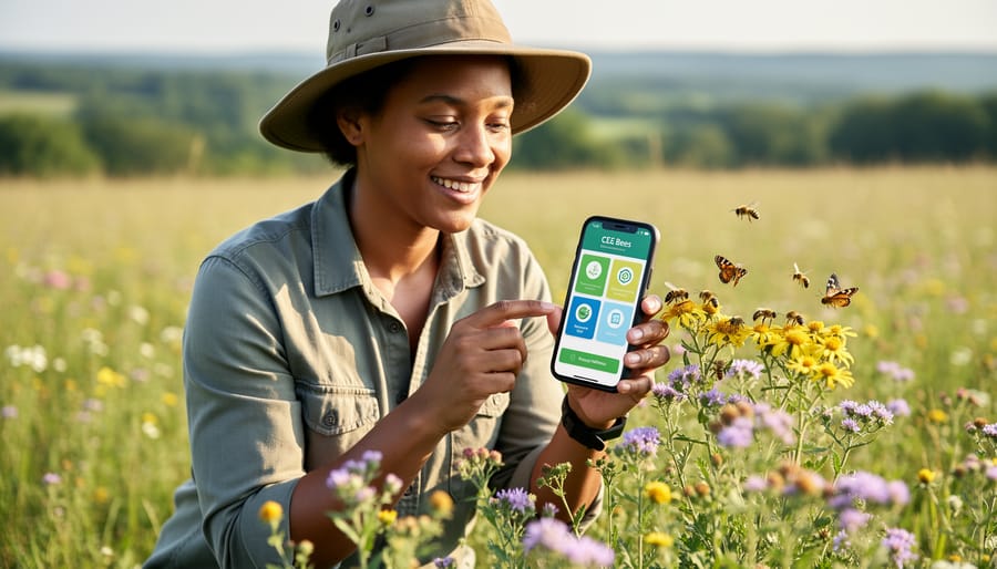
The Center for Environmental Research and Innovation has positioned itself at the forefront of pollinator research by developing an integrated CEE Bee framework that transforms scattered observations into actionable conservation strategies. Their approach combines technological innovation with grassroots mobilization, creating a model that other organizations increasingly replicate.
CERI’s digital infrastructure forms the backbone of this success. Their BeeTracker platform processes uploads from thousands of citizen scientists, using machine learning algorithms to flag potential misidentifications while preserving the human element through expert review. This system has cataloged over 427,000 verified bee sightings across 34 states since 2023, creating the most comprehensive real-time pollinator distribution dataset available to researchers and land managers.
The organization’s community partnership model extends beyond data collection. CERI trains local environmental groups to lead regional monitoring networks, providing equipment grants and technical support. These partnerships have established 89 permanent monitoring sites on public lands, farms, and urban green spaces, generating longitudinal data that reveals seasonal patterns and multi-year trends invisible in snapshot studies.
Where CERI distinguishes itself is translating this data into policy influence. Their quarterly biodiversity reports synthesize citizen science findings with academic research, documenting correlations between land use changes and pollinator declines. State agricultural agencies have used these reports to justify pesticide application restrictions in critical habitat corridors. Municipal planners reference CERI’s urban pollinator maps when designing parks and greenways that prioritize native plantings.
CERI also directs habitat restoration investments based on identified conservation gaps. When CEE Bee data revealed declining bumblebee populations in the Midwest prairie remnants, the organization coordinated with land trusts to restore 1,200 acres of native forb habitat in documented decline zones. Follow-up monitoring showed measurable population rebounds within two growing seasons, demonstrating how citizen science informs targeted, effective conservation interventions rather than broad, untested approaches.
Real-World Impact: What CEE Bee Data Has Revealed
Citizen-collected bee data has exposed critical gaps in conservation knowledge that traditional sampling methods missed. In northeastern Ontario, CEE Bee observers documented a 43% decline in native bumblebee populations across agricultural zones between 2023 and 2025, identifying specific pesticide application timing as the primary driver. This granular evidence prompted regional authorities to implement buffer zones and revised spraying schedules that stabilized populations within a single season.
Urban pollinator corridors have emerged as unexpected conservation success stories through CEE Bee mapping. Participants in Toronto tracked 78 bee species across residential gardens, revealing that small-scale native plantings created functional habitat networks that sustained diverse pollinator communities throughout the growing season. This finding challenged assumptions that meaningful bee conservation requires large protected areas, directly influencing municipal green space planning.
The data has also illuminated pesticide impacts with unprecedented temporal precision. A coordinated monitoring effort across southern Quebec captured bee activity patterns before, during, and after neonicotinoid applications, showing that even sub-lethal exposure reduced foraging efficiency by 62% for three weeks post-application. Armed with this evidence, agricultural cooperatives revised their integrated pest management protocols and invested in targeted habitat restoration along field margins.
Perhaps most importantly, CEE Bee programs have identified pollinator refuge zones in degraded landscapes. Observations from abandoned industrial sites and roadside verges consistently showed higher bee diversity than adjacent conventional farmland, providing land managers with concrete targets for low-cost conservation interventions. These findings translated into 12 policy changes across three provinces, demonstrating how distributed citizen observation networks generate actionable intelligence that shapes real-world environmental decisions.
How to Participate in CEE Bee Initiatives
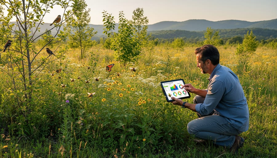
Getting started with CEE Bee monitoring requires no prior expertise, just curiosity and a willingness to observe. Most programs welcome participants of all ages and backgrounds, making pollinator science accessible to anyone with outdoor space and a smartphone.
- Find a local program: Visit the CERI Bee and Insect Biodiversity Initiatives website or search for regional citizen science platforms. Many programs offer virtual or in-person orientations that explain observation protocols and answer questions before you begin.
- Complete basic pollinator training: Most initiatives provide free online modules covering bee identification basics, safety guidelines, and data recording standards. Training typically takes one to two hours and equips you to recognize common species and document habitat features.
- Download monitoring tools: Install the recommended mobile app (often free) that guides observations with photo prompts, GPS tagging, and built-in identification aids. Some programs also provide downloadable field sheets for offline use.
- Conduct your observations: Spend 15-30 minutes per session watching flowering plants in your yard, park, or schoolyard. Record bee activity, note flower types, and capture photos when possible, consistency matters more than duration.
- Submit your data: Upload observations through the app or web portal within 24 hours. Your entries join a verified database that researchers access for trend analysis and conservation planning.
Equipment needs remain minimal. A smartphone with a camera handles most documentation, though a magnifying app helps with small species. Binoculars and field guides enhance accuracy but aren’t required, programs prioritize participation over perfection, knowing that verification systems catch uncertainties. Schools can adopt monitoring sites as ongoing projects, while community groups often coordinate neighborhood watch efforts that strengthen local engagement and data density across landscapes.
Frequently Asked Questions About CEE Bee Programs
Do I need specialized training to participate? Most programs require no prior expertise, training workshops and guided field sessions teach you everything from basic bee identification to proper data recording. Many platforms use photo-based apps where experts verify your submissions, so your learning continues with each observation you log.
What equipment will I need? The barrier to entry is remarkably low. A smartphone camera, comfortable walking shoes, and curiosity are the essentials. Some participants invest in a hand lens for closer flower inspections or a field guide, but programs provide digital identification tools and free downloadable resources that work perfectly for beginners.
How much time does monitoring require?
Most protocols involve 15-30 minute observation sessions, and you choose when and how often to participate. Many contributors start with monthly surveys during peak bloom seasons, but even occasional observations add value to the dataset.
Are CEE Bee programs available in my area?
Programs now operate across six continents, with urban, suburban, and rural monitoring sites. Check CERI’s network directory or search “citizen science bees” plus your region to find local initiatives, many operate year-round with seasonal intensity peaks.
What happens to the data I collect?
Your observations feed into regional and national biodiversity databases that scientists use for trend analysis, conservation prioritization, and policy development. Contributors often receive updates showing how their specific data contributed to habitat restoration projects or species protection measures.
Will my personal information be shared?
Reputable programs follow strict data privacy protocols, publishing only aggregated scientific findings while keeping observer identities confidential unless you choose public recognition for your contributions.
The measurable difference question matters most to newcomers. A single observation might document a rare species in an unexpected location, triggering targeted habitat surveys. Collectively, thousands of small contributions create the statistical power needed to detect population shifts years before traditional monitoring would catch them, directly informing where conservation resources get deployed.
Every bee you document through a CEE Bee program becomes part of a growing scientific record that researchers use to map pollinator health across regions and seasons. Your observations, whether you’ve logged ten sightings or a thousand, fill critical gaps in biodiversity data that traditional monitoring can’t capture at scale. This collective intelligence has already influenced habitat protection decisions, pesticide regulation reviews, and restoration project designs across multiple continents.
The challenges facing pollinators require solutions that match their scope. Habitat loss, climate shifts, and agrochemical impacts won’t reverse through isolated academic studies alone. They demand sustained, widespread monitoring that only engaged communities can provide. When you participate in citizen science bee monitoring, you’re not just recording data. You’re building the evidence base that policymakers and land managers need to make informed decisions.
Start small if the commitment feels overwhelming. Download a monitoring app, attend a local training session, or dedicate thirty minutes each week to observing pollinators in your neighborhood. Connect with existing CEE Bee networks through CERI’s biodiversity initiatives or regional programs in your area. Your role as a citizen scientist carries real weight, each verified observation strengthens the foundation for protecting the species that sustain our food systems and natural ecosystems. The bees need witnesses, and that work begins with you.